

Investing In Land - Researching Property - Plat Maps and Google Earth

Published date:
October 18, 2014Last updated date:
October 18, 2014By Manny Manriquez
Investing In Land: Researching Property - Plat Maps and Google Earth
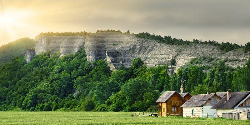
If you have ever seen those intricately hand-drawn property maps of towns and counties from the 1800s you have seen plat maps. Plat maps are critical to land buyers to insure that there is access to a public right of way, either a roadway or a waterway. A seller offering property with no such access is committing fraud unless there is full disclosure during the transaction. Today's plat maps are no longer cartographic works of art. Modern plats are used to delineate lots and parcels of land that are available for sale and how the property relates to neighboring lots. In addition to physical access plat maps show access to public utility lines as well. Plat maps also indicate the location of public land such as parks and give indications of how land is publicly zoned. When researching a piece of property you can study county maps, township maps, town maps and subdivision maps - all on file with the local governing body. After a session with plat maps you should walk away with a trove of useful information including, dimensions, easements, names, boundary lines, neighboring properties, topography and more that can impact a purchase decision. So plat maps are your gateway to nuts-and-bolts knowledge about a potential piece of land. But what if you REALLY want to know the land use history of a piece of property. You have probably the best land scouting tool ever invented at your fingertips - Google Earth. Many of the details that you had to historically rely on surveyors to provide can be observed for free with Google Earth. And it is possible to marry the two by overlaying historical plat maps onto Google Earth. Here's how. Find online plat maps (Historic Map Works is a good source) and open Google Earth on your computer. Click the "Overlay" button on Google Maps and bring your historic map onto the screen. You can adjust the opacity as needed to blend the two into a single time-warping picture of your target property. To line up the maps use major road intersections that probably have not changed through the decades. Avoid shorelines of bodies of water or creeks since these natural features shift over time. You can also use county lines for alignment if applicable since they are noted in blue on Google Earth. That's all there is to it. You can see evidence of structures that may have existed on the property at one time. You can view how land use has shifted in the area over time. Maybe what you discover is merely of curiosity value or maybe more - that is what it means to thoroughly research a piece of land before investing.All Land News
Leave a Reply
Land for Sale in the USA by State
- Alabama
- Alaska
- Arizona
- Arkansas
- California
- Colorado
- Connecticut
- Delaware
- Florida
- Georgia
- Hawaii
- Idaho
- Illinois
- Indiana
- Iowa
- Kansas
- Kentucky
- Louisiana
- Maine
- Maryland
- Massachusetts
- Michigan
- Minnesota
- Mississippi
- Missouri
- Montana
- Nebraska
- Nevada
- New Hampshire
- New Jersey
- New Mexico
- New York
- North Carolina
- North Dakota
- Ohio
- Oklahoma
- Oregon
- Pennsylvania
- Puerto Rico
- Rhode Island
- South Carolina
- South Dakota
- Tennessee
- Texas
- Utah
- Vermont
- Virginia
- Washington
- West Virginia
- Wisconsin
- Wyoming
Land for Sale in Costa Rica, Mexico & Canada
Property For Sale
Copyright ©️ 2024 by LandHub.com. LandHub ©️ is a registered trademark and cannot be used without permission.