
Kent Taylor

1881.com investments
 View Website
 Facebook
Seller Location
Austin, Texas, Travis County
Contact Kent Taylor
Properties on Map
Sort Option

For Sale
Pershing County
Lovelock Nevada
$7,500

For Sale
Valencia County
Rio Communities New Mexico
$3,500

For Sale
$3,000
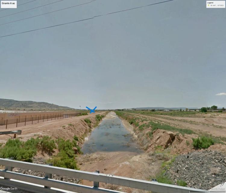
For Sale
Socorro County
Socorro New Mexico
$45,000
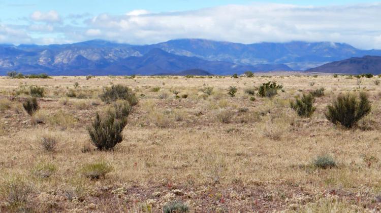
For Sale
Otero County
Timberon New Mexico
$15,000
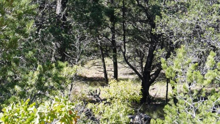
For Sale
Lake County
Leadville Colorado
$15,000
For Sale
Valencia County
Rio Communities New Mexico
$3,500

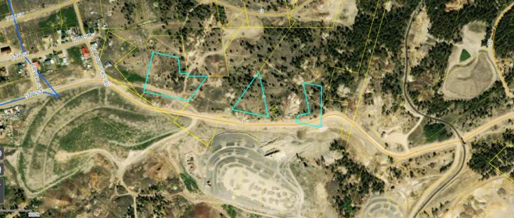
For Sale
San Juan County
Gladstone Colorado
$39,000
For Sale
Pershing County
Lovelock Nevada
$4,200

For Sale
Otero County
Timberon New Mexico
$3,000
For Sale
Elko County
Wendover Nevada
$3,500
Land for Sale in the USA by State
- Alabama
- Alaska
- Arizona
- Arkansas
- California
- Colorado
- Connecticut
- Delaware
- Florida
- Georgia
- Hawaii
- Idaho
- Illinois
- Indiana
- Iowa
- Kansas
- Kentucky
- Louisiana
- Maine
- Maryland
- Massachusetts
- Michigan
- Minnesota
- Mississippi
- Missouri
- Montana
- Nebraska
- Nevada
- New Hampshire
- New Jersey
- New Mexico
- New York
- North Carolina
- North Dakota
- Ohio
- Oklahoma
- Oregon
- Pennsylvania
- Puerto Rico
- Rhode Island
- South Carolina
- South Dakota
- Tennessee
- Texas
- Utah
- Vermont
- Virginia
- Washington
- West Virginia
- Wisconsin
- Wyoming