


Scan with Smart
Phone Camera
Heavily Treed Parcel - Mountains Of Southern Colorado - Privacy Cul-de-sac
United States /Colorado, Charles Road>, 5.03
For Sale
Listing ID :
90964769MLS ID :
86719Acres :
5.03 Acres$17,000
View Agent's Properties and Profile:

Kent Taylor
 Show Number
Show Number1881.com investments
Contact Seller
Property Description
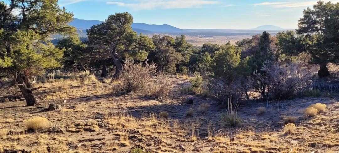
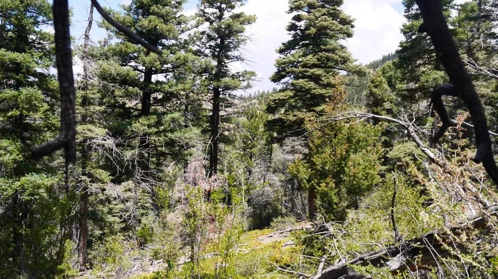
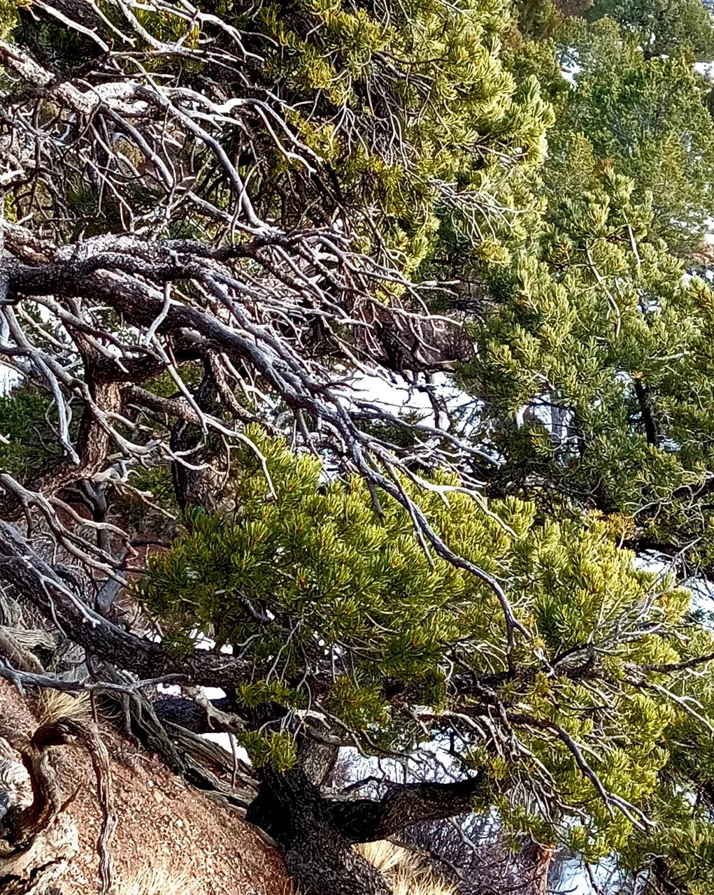
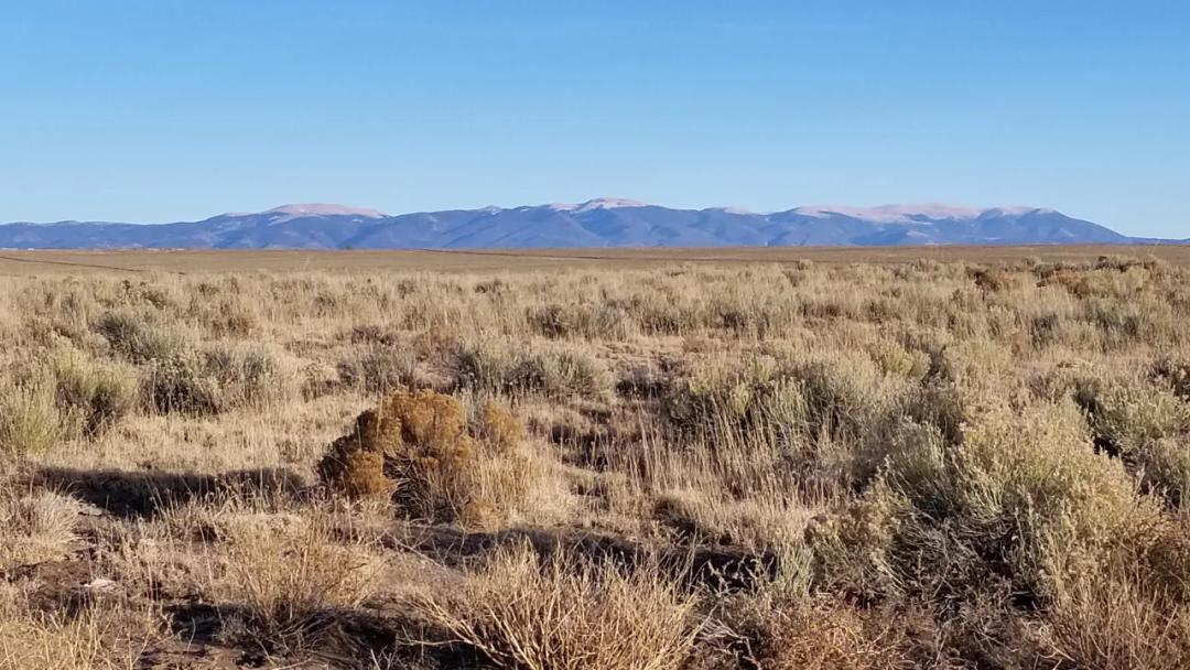
Heavily treed mountain land SIZE: 5.03 +/- ac APN#: 70234510LEGAL DESCRIPTION: Sangre De Cristo Ranches Unit I-2, Block 221, lot 4442STATE: ColoradoCOUNTY: CostillaGENERAL LOCATION: About 7.5 miles E-NE of Fort Garland. South of hiway 160. North side of Charles Road.GPS(approx.): 37.47813556175 , -105.31059679833 (see document section for more GPS points.GENERAL ELEVATION: approx. 8635'-8735'GENERAL INFORMATION: Lots of Trees. Cul-de-sac privacy Camp, RV, build, Mobile, Modulars, site builds allowed. Check with the county for your intended usage.TYPE OF TERRAIN: sloping uphill from roadZONING: residentialPOWER: noPHONE: noWATER: Must install well if you buildSEWER: No. Only needed when/if you build.ROADS: graded dirtPROPERTY TAX: approx. $90 a year CLOSING/DOC. FEES: $125 TIME LIMIT TO BUILD: noneASSOCIATION DUES: NONETITLE INFORMATION: Free and clear If/when more info becomes available we will update listingFINANCING INFO and PURCHASE INFOGo to 1881.com Area Land pageThe county seat is San Luis, the oldest continuously occupied town in Colorado history. On July 8, 1694, Spanish Conquistador Don Diego de Vargas and his army, two weeks before the Battle of Astialakwa, reached Costilla County. Diego Vargas is not the first Spaniard in Colorado. Juan de Archuleta led an expedition into Colorado in 1664 – his expedition is the first traceable Spanish expedition into Colorado. In 1647, Governor Luis Rosas fought with the Utes in northern New Mexico. While Rosa came near Colorado, it has not been verified he actually did. Costilla County was the first area of Colorado to have been colonized. Costilla County, CO, is best known for its stunning natural landscapes, including the Sangre de Cristo Mountains and the Great Sand Dunes National Park. The county has a rich history tied to early Spanish settlers and gold mining, and it offers outdoor activities like hiking, fishing, and skiing, making it a serene getaway. >
Basic Details
Property Types:
Land, Home, Recreational propertiesListing Type:
For SaleListing ID:
90964769Price:
$17,000Acres:
5.03 AcresAddress Map
Country:
United StatesState:
ColoradoCounty:
Costilla CountyCity:
Fort GarlandLatitude:
37.47813556175Longitude:
-105.31059679833Street Address:
Charles Road>Similar Listings


Land for Sale in the USA by State
- Alabama
- Alaska
- Arizona
- Arkansas
- California
- Colorado
- Connecticut
- Delaware
- Florida
- Georgia
- Hawaii
- Idaho
- Illinois
- Indiana
- Iowa
- Kansas
- Kentucky
- Louisiana
- Maine
- Maryland
- Massachusetts
- Michigan
- Minnesota
- Mississippi
- Missouri
- Montana
- Nebraska
- Nevada
- New Hampshire
- New Jersey
- New Mexico
- New York
- North Carolina
- North Dakota
- Ohio
- Oklahoma
- Oregon
- Pennsylvania
- Puerto Rico
- Rhode Island
- South Carolina
- South Dakota
- Tennessee
- Texas
- Utah
- Vermont
- Virginia
- Washington
- West Virginia
- Wisconsin
- Wyoming
Land for Sale in Costa Rica, Mexico & Canada
Property For Sale


Copyright ©️ 2026 by LandHub.com. LandHub ©️ is a registered trademark and cannot be used without permission.