

Scan with Smart
Phone Camera
26.38-Acre Highway 30 Frontage Parcel – Off-Grid Agricultural Land Near Grouse Creek, UT
United States /Utah, State Route 30 near Grouse CreekState Route 30 near Grouse Creek, 8408384083, 26.38
For Sale
Listing ID :
30644618Acres :
26.38 AcresView Agent's Properties and Profile:


 Show Number
Silver Bear Land
Contact Seller
Property Description
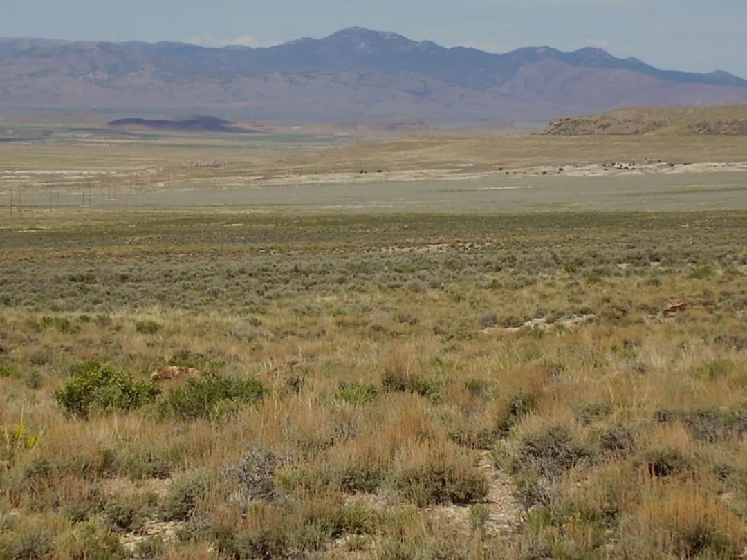
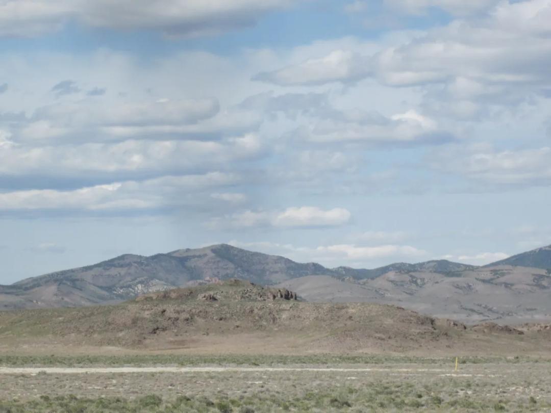
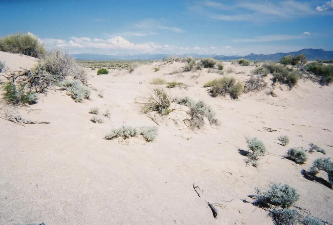
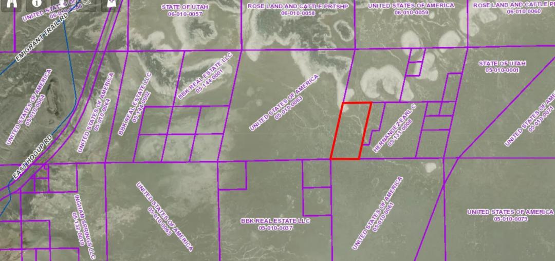
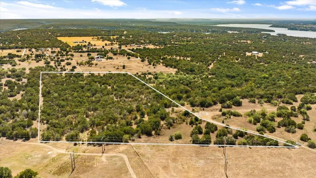
This 26.38-acre parcel sits along paved State Route 30 near Grouse Creek in Box Elder County, Utah. The long, rectangular tract boasts roughly 1,300 feet of highway frontage and easy access while still offering remote privacy and unobstructed views of the Great Salt Lake Desert. Zoned Agricultural with no HOA or time restrictions, the land is flat and usable for farming, ranching, recreation or a homestead.
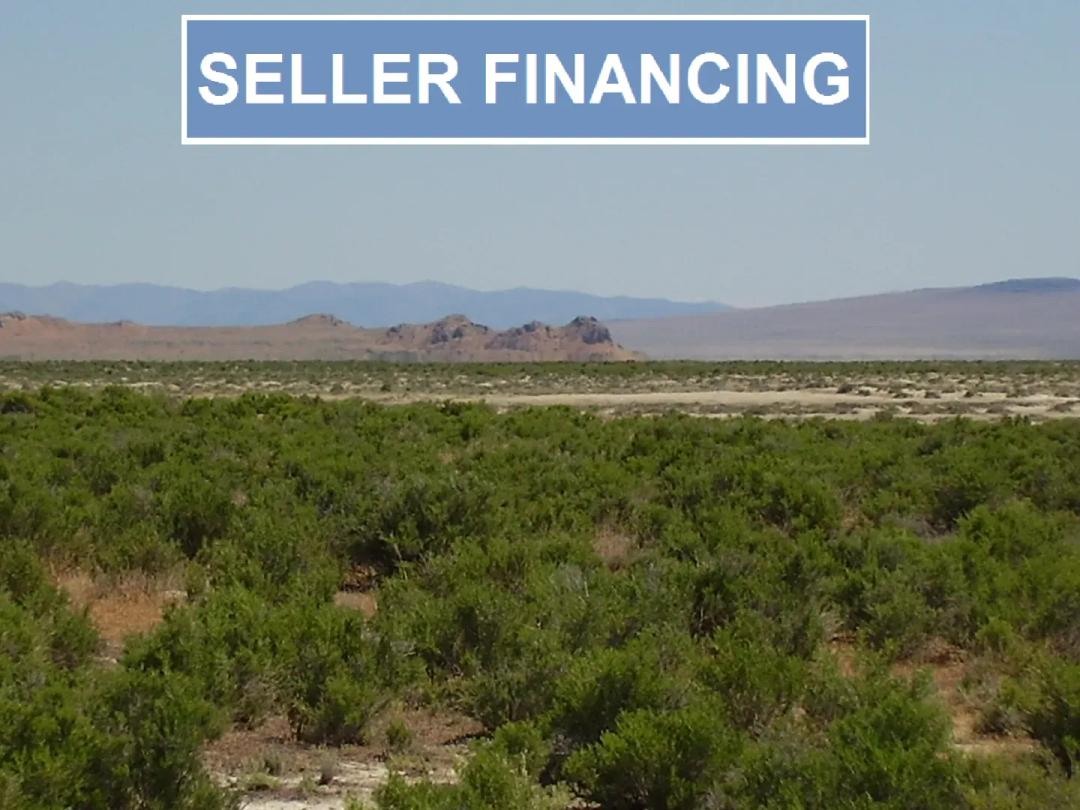
The property is off-grid – power would be by solar/generator, water via well and sewer via septic if you choose to build. Annual property taxes are around $24. The legal description is S/2 NW/4 NE/4 Section 16 Township 13 North Range 14 West, Salt Lake Meridian, Box Elder County, UT (APN 02-060-0005). Owner financing is available with 20% down and flexible terms.
Nearby attractions include the Sun Tunnels art installation (8 miles), Devil's Playground OHV area (25 miles), City of Rocks National Reserve (50 miles), Golden Spike National Historical Park (74 miles), and the Bear River Migratory Bird Refuge (94 miles). The towns of Montello, NV (34 miles), Tremonton, UT (96 miles) and Salt Lake City (140 miles) provide groceries and services. This is a rare opportunity to own affordable acreage with paved access in a spectacular high-desert setting.
Attachments
Basic Details
Property Types:
Acreage, High Desert, Land - Pasture, Land - Recreational, Land - HuntingListing Type:
For SaleListing ID:
30644618Price:
$14,900Acres:
26.38 AcresFeatures:
Owner Financing, Hunting, Development PotentialAddress Map
Country:
United StatesState:
UtahCounty:
Box Elder CountyCity:
Grouse CreekStreet Address:
State Route 30 near Grouse CreekState Route 30 near Grouse CreekDirections:
From Grouse Creek, drive east on paved State Route 30 for approximately 4 miles. The property is on the north side of the highway between State Route 30 and Winter Cabin Road, with roughly 1,300 feet of frontage. Approximate coordinates are 41.40006 N, -113.95181 W.Similar Listings


For Sale
Land for Sale in the USA by State
- Alabama
- Alaska
- Arizona
- Arkansas
- California
- Colorado
- Connecticut
- Delaware
- Florida
- Georgia
- Hawaii
- Idaho
- Illinois
- Indiana
- Iowa
- Kansas
- Kentucky
- Louisiana
- Maine
- Maryland
- Massachusetts
- Michigan
- Minnesota
- Mississippi
- Missouri
- Montana
- Nebraska
- Nevada
- New Hampshire
- New Jersey
- New Mexico
- New York
- North Carolina
- North Dakota
- Ohio
- Oklahoma
- Oregon
- Pennsylvania
- Puerto Rico
- Rhode Island
- South Carolina
- South Dakota
- Tennessee
- Texas
- Utah
- Vermont
- Virginia
- Washington
- West Virginia
- Wisconsin
- Wyoming
Land for Sale in Costa Rica, Mexico & Canada
Property For Sale


